News
24 October 2022TİKA Held Geographic Information Systems (GIS) Training in Bosnia and Herzegovina
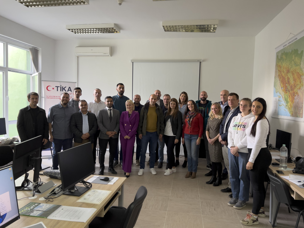
Theoretical and applied training was given at the Geographic Information Systems (GIS) Laboratory, established by Turkish Cooperation and Coordination Agency (TİKA) in Sarajevo, the capital of Bosnia and Herzegovina.
The second phase of the training held in Sarajevo as part of the project for the establishment of the Geographic Information Systems (GIS) Lab in the Faculty of Forestry at the University of Sarajevo was completed with the participation of 16 specialists from the industry and the Faculty of Forestry at the University of Sarajevo.
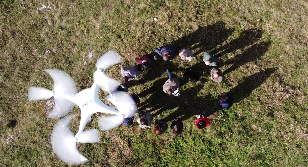
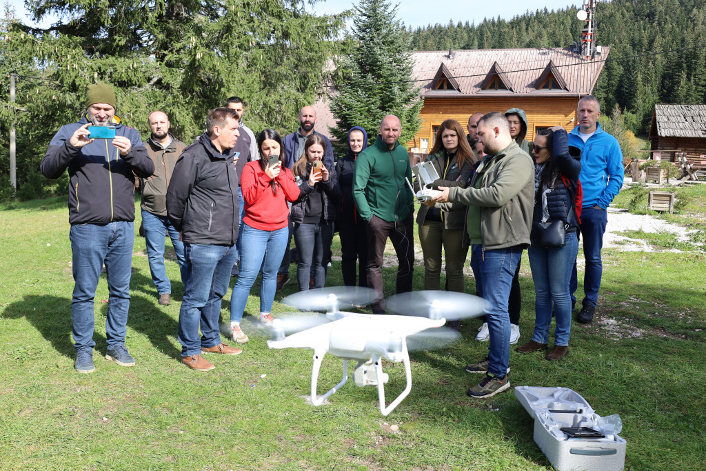
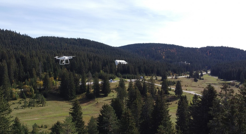
The 5-day training held by TİKA, the University of Sarajevo, and Bursa Technical University focused on various practices in processing the images captured by drones (UAVs), terrain modeling, and orthophoto mapping, as well as on various applications of GIS in forestry.
The training contributed to building the necessary infrastructure for strategic actions for the management of forests, which cover nearly half the surface area of Bosnia and Herzegovina and have a significant share in the country’s economy, and for the preservation of soil and biodiversity.
As part of the training, Türkiye shared its knowledge of and experience in advances in Geographic Information Systems and remote sensing technologies and the applications of drone technologies and integrated camera systems in forestry with the relevant institutions in Bosnia and Herzegovina.


